Online or onsite, instructor-led live QGIS training courses demonstrate through interactive hands-on practice how to use QGIS to analyze, visualize, and manage geospatial data effectively.
QGIS training is available as "online live training" or "onsite live training". Online live training (aka "remote live training") is carried out by way of an interactive, remote desktop. Onsite live QGIS trainings in Dusseldorf can be carried out locally on customer premises or in NobleProg corporate training centers.
NobleProg -- Your Local Training Provider
Düsseldorf
NobleProg Düsseldorf, Mindener Str. 30, Düsseldorf, germany, 40227
Overview
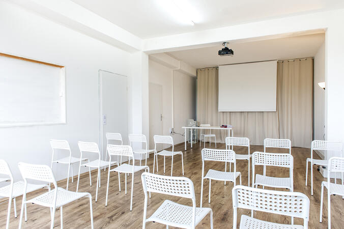
Our training facilities are located at Mindener Str. 30 in Düsseldorf. Our spacious training rooms are located southwest of the city centre and offer optimal training conditions for your needs.
Arrival
The NobleProg training facilities are conveniently located near the Oberbilker Strasse underground station. In the south you reach the motorway A46.
Parking
You will find numerous parking spaces around our training rooms.
Local Infrastructure
In downtown Düsseldorf you will find numerous hotels and restaurants..
A geographic information system (GIS) is a system designed to capture, store, manipulate, analyze, manage, and present spatial or geographic data. The acronym GIS is sometimes used for geographic information science (GIScience) to refer to the academic discipline that studies geographic information systems and is a large domain within the broader academic discipline of geoinformatics.
QGIS functions as geographic information system (GIS) software, allowing users to analyze and edit spatial information, in addition to composing and exporting graphical maps. QGIS supports both raster and vector layers; vector data is stored as either point, line, or polygon features. Multiple formats of raster images are supported, and the software can georeference images. To summarize it allows the users to Create, edit, visualise, analyse and publish geospatial information on Windows, Mac, Linux, BSD.
This program, in its first phase, introduces the QGIS interface for general usage. In the second phase, we introduce PyQGIS - the python libraries of QGIS that allows the integration of GIS functionalities in your python code or your python application, so that you may even create your own Python Plugin around a particular GIS functionality.
Read more...
Last Updated:
Testimonials (1)
All the topics which he covered including examples. And also explained how they are helpful in our daily job.
Online QGIS training in Dusseldorf, QGIS training courses in Dusseldorf, Weekend QGIS courses in Dusseldorf, Evening QGIS training in Dusseldorf, QGIS instructor-led in Dusseldorf, QGIS on-site in Dusseldorf, QGIS classes in Dusseldorf, QGIS instructor-led in Dusseldorf, QGIS instructor in Dusseldorf, Evening QGIS courses in Dusseldorf, QGIS boot camp in Dusseldorf, QGIS private courses in Dusseldorf, QGIS one on one training in Dusseldorf, Weekend QGIS training in Dusseldorf, QGIS coaching in Dusseldorf, QGIS trainer in Dusseldorf, Online QGIS training in Dusseldorf